Récapitulatif de l'itinéraire
| Distance en voiture | |
|---|---|
| Distance à vol d'oiseau | 320.493 km |
| Distance en vélo | 432.67 km (distance estimée) |
| Saint-Louis-de-Montferrand | Romorantin-Lanthenay |
|---|---|
| Parempuyre, Ambares-et-lagrave, Sainte-eulalie-33, Bassens-33 et Ludon-medoc | Pruniers-en-sologne, Villefranche-sur-cher, Gievres, Chabris et Selles-sur-cher |
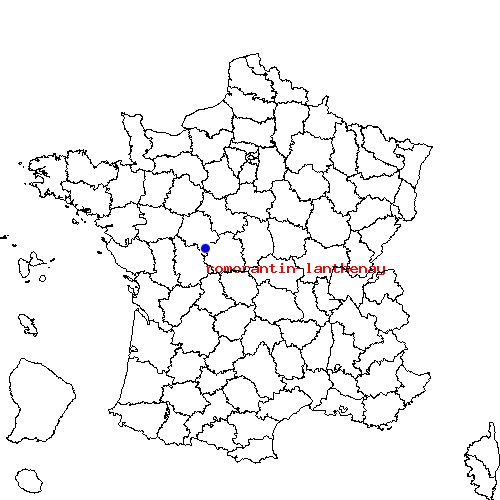
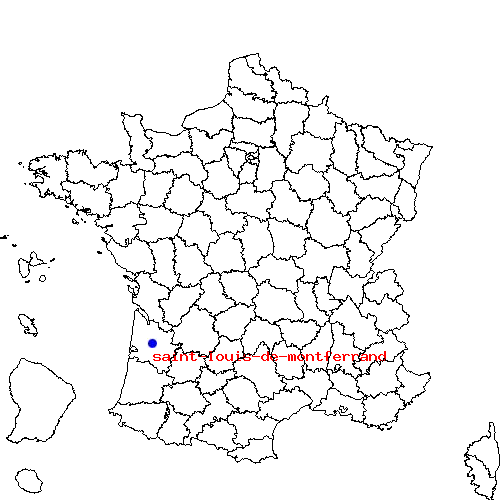
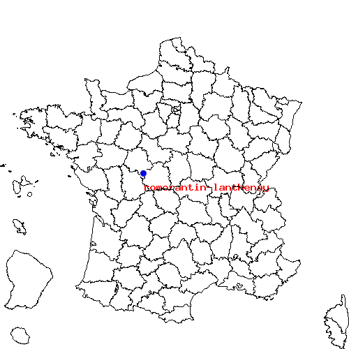
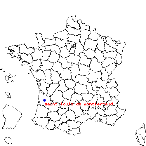
| Saint-Louis-de-Montferrand | Romorantin-Lanthenay | |
|---|---|---|
| Code postal | 33440 | 41200 |
| Code INSEE | 33434 | 41194 |
| Localisation | Sud-ouest de la France | Cœur du Massif central |
| Longitude / Latitude | -0.533333 / 44.95 |
1.74361 / 47.3589 |
| Département / Région | Gironde / Aquitaine | Loir-et-Cher / Auvergne |
Le trajet de saint-louis-de-montferrand vers romorantin-lanthenay est en cours de calcul ...

 Descriptif détaillé du trajet


