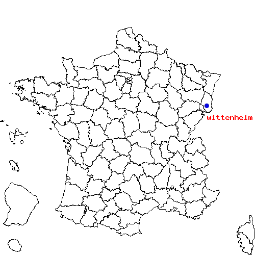
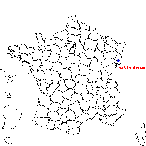
Récapitulatif de l'itinéraire
| Distance en voiture | |
|---|---|
| Distance à vol d'oiseau | 380.167 km |
| Distance en vélo | 513.23 km (distance estimée) |
| Bourges | Wittenheim |
|---|---|
| Saint-doulchard, Chapelle-saint-ursin, Saint-germain-du-puy, Trouy et Saint-martin-d-auxigny | Kingersheim, Ruelisheim, Baldersheim, Illzach et Pulversheim |
| Bourges | Wittenheim | |
|---|---|---|
| Code postal | 18000 | 68270 |
| Code INSEE | 18033 | 68376 |
| Localisation | Centre de la France | Nord-est de la France |
| Longitude / Latitude | 2.4 / 47.0833 |
7.33333 / 47.8167 |
| Département / Région | Cher / Centre | Haut-Rhin / Alsace |
Le trajet de bourges vers wittenheim est en cours de calcul ...

 Descriptif détaillé du trajet


