Récapitulatif de l'itinéraire
| Distance en voiture | |
|---|---|
| Distance à vol d'oiseau | 326.402 km |
| Distance en vélo | 440.64 km (distance estimée) |
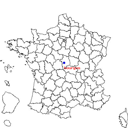
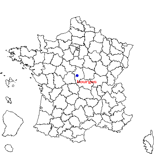
| Bourges | Saint-Égrève |
|---|---|
| Saint-doulchard, Chapelle-saint-ursin, Saint-germain-du-puy, Trouy et Saint-martin-d-auxigny | Fontanil-cornillon, Sassenage, Noyarey, Saint-martin-le-vinoux et Tronche |
| Bourges | Saint-Égrève | |
|---|---|---|
| Code postal | 18000 | 38120 |
| Code INSEE | 18033 | 38382 |
| Localisation | Centre de la France | Sud-est de la France |
| Longitude / Latitude | 2.4 / 47.0833 |
5.68306 / 45.2317 |
| Département / Région | Cher / Centre | Isère / Rhône-Alpes |
Le trajet de bourges vers saint-egreve est en cours de calcul ...

 Descriptif détaillé du trajet


